Monday 8 July 2024
Nido's parked up on a Camping and Caravanning Club Temporary Holiday Site (THS) in Nethy Bridge, a few miles north of Aviemore. These pop-up campsites are very handy for the campervanner (and caravanner) as they offer cheap stop overs - usually in a field in a quiet location - with basic facilities and in most cases no need to book - just turn up, show your membership card and pay the fee. In this case it's £10 per night. The THS are usually run by a DA - District Association - and they tend to meet at the same places every year. So they all tend to know each other but are equally welcoming to itinerant 'just turn-uppers' like us! The very friendly Stewards booked us in, showed us the service points and offered several places to pitch up for the next couple of days. It's a quiet little village in the middle of a forest and it feels very French, with its community sports facilities, honesty boxes and small recycling area. We're looking forward to not having to drive anywhere tomorrow. Hopefully, if the weather holds, I'll get the bike off the rack and explore the local area a little more.
Yesterday's route from Aberfeldy took us along some winding B roads before joining the A9, the main artery running up and down the western edge of the Cairngorms. Regular heavy rain showers pounded the van and these continued on and off for the rest of the day, until about 7pm when the clouds cleared and the sun shone. But with little wind the midges arrived; not in huge numbers like on the west coast, but enough to force us to close the van door and engage the fly screens across the open skylight.
We parked up in an almost empty car park at Pattack Falls. This surprised me a little. It being a Sunday in July I thought it would be busy and was expecting difficulties in finding a spot. Later, when we returned from our walk, it was busier. I suspect the unseasonal weather has kept people at home. The waterfalls are very close to the car park so perhaps people arrive for a quick look at the tumbling waters before quickly returning to their cars and heading for the nearest cafe. We continued on up the path through the birch trees, grazing on the succulent and tasty bilberries. As we joined a forest track, the sign post for the lost village of Druim an Aird pointed to the right. However my book of walks suggested turning left so we did. For anyone interested, it's a small book (about A6 in size) titled '40 Shorter Walks - Aviemore and the Cairngorms' by Paul & Helen Webster. It contains (unsurprisingly) 40 mainly circular walks 'stretching from the ancient region of Badenoch and the wild-life packed upper reaches of the Spey Valley, through the outdoor sports hub of Aviemore and Grantown and Tomintoul, then over Ballater and Royal Deeside to Braemar' (so says the spiel on the back cover of the book).
Anyway, back to the walk. The guide book suggested walking past the cottage and taking a path marked Dalwhinnie, then through a gate and steadily climbing towards the pine forest. The problem was since the book was written, the 'steadily climbing' path had been obliterated by tree felling. This resulted in a battle of the wills to cross bog, dykes and dead tree trunks in a vain effort to find the long-lost path! We eventually found it close to the pine forest entrance, where we stopped to devour our sandwiches with a flask of tea. A journey of about a quarter of a mile had taken the best part of an hour; we're too old for all this now! But once in the plantation we followed the firebreak through the pines before reaching the lost village of Druim an Aird. A strategically placed wooden bench provided some respite for another cuppa and a twix, before we explored the ruins. With the long grass it was difficult to make out the remnants of the buildings and enclosures, but the boundaries made of large stones were still clear. There's no record of why the village was abandoned, but one theory is the the villagers left after their menfolk had died in a snowstorm returning from celebrating a wedding. Or perhaps they couldn't find the path because the loggers had felled all the trees and blocked it with the remnants! We followed a signed track back to the car park, by which time it was raining quite heavily. After hanging wet coats in the bathroom and rubbing down a wet dog, we drove the short 6 miles to the Creag Meagaidh National Nature Reserve, where we could stopover for the night in their large car park. It was still raining so while Cathy had a snooze I cooked some dahl, which we had with chapatis. Later in the evening the rain disappeared and the sun shone. I took Salty for a quick meander (aka a wee for him!) but the midges drove us back quite quickly. There were several vans parked up for the night; another big plus for Scotland vs the rest of the UK - they positively encourage motorhomes and camper vans.


 |
| Where's the path gone? |
 |
| We drove through Dull - it didn't look at all boring! |


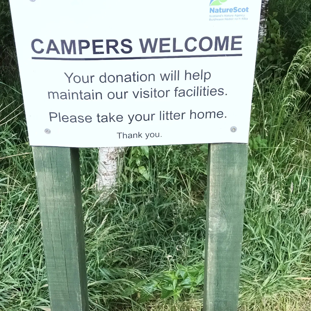

This morning before breakfast we took a very enjoyable circular walk past the Creag Meagaidh NNR buildings and up a marked path to a viewpoint, with a 360' view of the surrounding mountains and Loch Laggan. Although only just under 2km long, the walk highlighted the beauty of the Reserve and surrounding countryside. Back at the van I made a donation towards the running costs as the sign welcoming us campers suggested. If you do stay over, please do consider a donation; it keeps their valuable work going and ensures future campers will be welcomed.
Heading onwards and northwards, our next walk was again from the '40 Shorter Walks - Aviemore and the Cairngorms' book - Uath Lochans and Inshriach Forest. As we drove into the tree-soaked car park, the surface of the adjacent lochan (a little loch) was like a mirror, reflecting the surrounding pines, mountains and sky. It took a while for our eyes to adjust to this optical illusion and, although we took photos, they don't justify the real thing. Cathy had prepared food and a flask and we headed off on the trail, following the red-topped marker posts, which matched the route in the book. We climbed to the top of Farleitter Crag to be met with an incredible view, taking in the lochans, Glen Feshie and the mountains beyond. The silence was deafening with not a puff of wind and we felt like we'd been transported to the Canadian Rockies; at any moment we expected to spot a bear lazily rubbing it's back on one of the scots pines! We stopped to soak up the view and carried on walking along the ridge, soon coming across a wooden bench next to a large boulder, which overlooked Loch Insh, the marshes and the river Spey - a perfect place to stop and enjoy our lunch. The route down continued through the scots pine plantation, with plenty of bilberries to enjoy for pudding. Don't worry, we left plenty for the wildlife! The trees were dripping with mosses and lichens of many colours and sizes, reminding us of those we'd seen in South Carolina.
Moving on, we made a brief stop at the Tesco in a very busy and touristy Aviemore before carrying on to Nethy Bridge. Now fed and watered, the silence of the day has continued and I'm enjoying watching the sun start to set through the clouds. The weather's been changeable with lots of heavy rain showers, but we've also had some short but glorious spells of hot sunshine, made all the better for the brief appearance.


 |
| Perfect lunch stop |

No comments:
Post a Comment
Note: only a member of this blog may post a comment.